The articles of the current edition are available on the new site.

Use of drones to map glaciers and monitor water resources: this is the objective of DREAM, one of the projects of the Alta Scuola Politecnica (ASP) of the Politecnico di Milano and Politecnico di Torino. The project aims to generate the digital model of the dimensions of a glacier to be compared with the previous ones for a multi-time analysis of glacial dynamics, useful to understand the state of the glacier's health and to assess annual accumulation and loss.
The instruments currently used to monitor a glacier have limited effectiveness and safety because they envisage on-site personnel to set up the measurements. The use of drones, on the other hand, thanks to photogrammetric techniques, allows the morphology of the glacier to be reconstructed and its geographical location to be placed in a geodetic reference system by means of points regarded as fixed, and in any case measured since easily accessible.
DREAM considered as a test site the Belvedere glacier (Piedmont, Macugnaga), an evocative scenario on the slopes of Monte Rosa. The glacier covers an area of approx. 3.2 km2, with altitude differences of approx. 400 m, and is surrounded by the impressive east face of Monte Rosa, which has approx. 2000 m of altitude difference.
The DREAM Team developed its own multi-rotor UAV (Unmanned Aerial Vehicle) system, and carried out various measurement surveys with regular frequency of approx. 4 months in order to ensure constant sampling of the variables measured. The changing of the seasons also allowed measurements to be taken both in the presence and in the absence of snow cover.
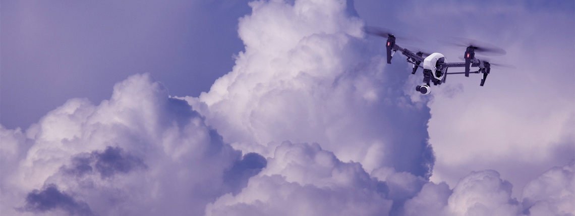
The drone, a four-engine device with payload of approx. 300 g and 40-minute flight time was built with a limited budget. The economy of the drone itself, coupled with the low cost of the sensors used (two cameras operating in the visible and near infrared spectrum, respectively, made from appropriately adapted common “action cams”) makes it possible to produce several specimens while keeping costs down.
A third phase of the project, just started, involves the development of a swarm of drones operating at the same time in order to continue monitoring the water-snow and glacial resources and, at the same time, validate the methodologies developed for automatic processing of the data collected.
The activity carried out in DREAM received the prize for the best poster at the 62nd SIFET National Conference 2017 and the results of the project are under review by the ISI International journal “The Cryosphere”.
The DREAM (DRone tEchnology for wAter resources Monitoring) project is coordinated by Professor Carlo De Michele (PoliMi) with the aid of Professors Livio Pinto (PoliMi), Marco Piras (PoliTo), Riccardo Barzagli (PoliMi), Alberto Cina (PoliTo), Alberto Bianchi (PoliMi), Paolo Maschio (PoliTo) and Luca Comolli (RESTART).
ASP
The Alta Scuola Politecnica (ASP) is a two-year course of excellence, parallel to the Master Degree, started in the autumn of 2004 by the Politecnico di Milano and Politecnico di Torino, based on a three-year funding of the Ministry of Education, Universities and Research. Every year, based on merit, ASP selects 150 talented youngsters (90 from the Politecnico di Milano and 60 from the Politecnico di Torino) among students who have completed the three-year Bachelor degree programme within the envisaged time limit and are enrolled in a Master degree programme at the Politecnico di Milano or Politecnico di Torino. ASP students form a community from approx. 20 different countries; more than a third of them are women. The official language of ASP is English.